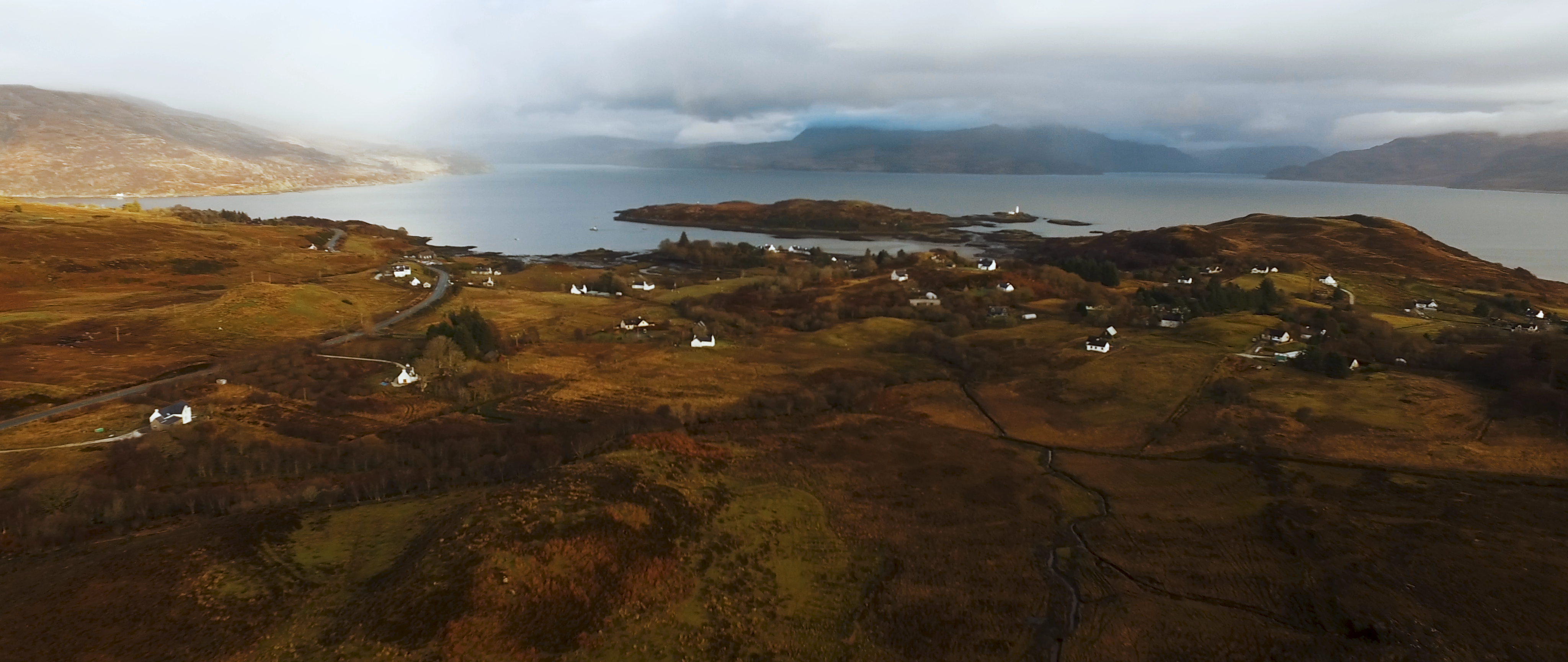
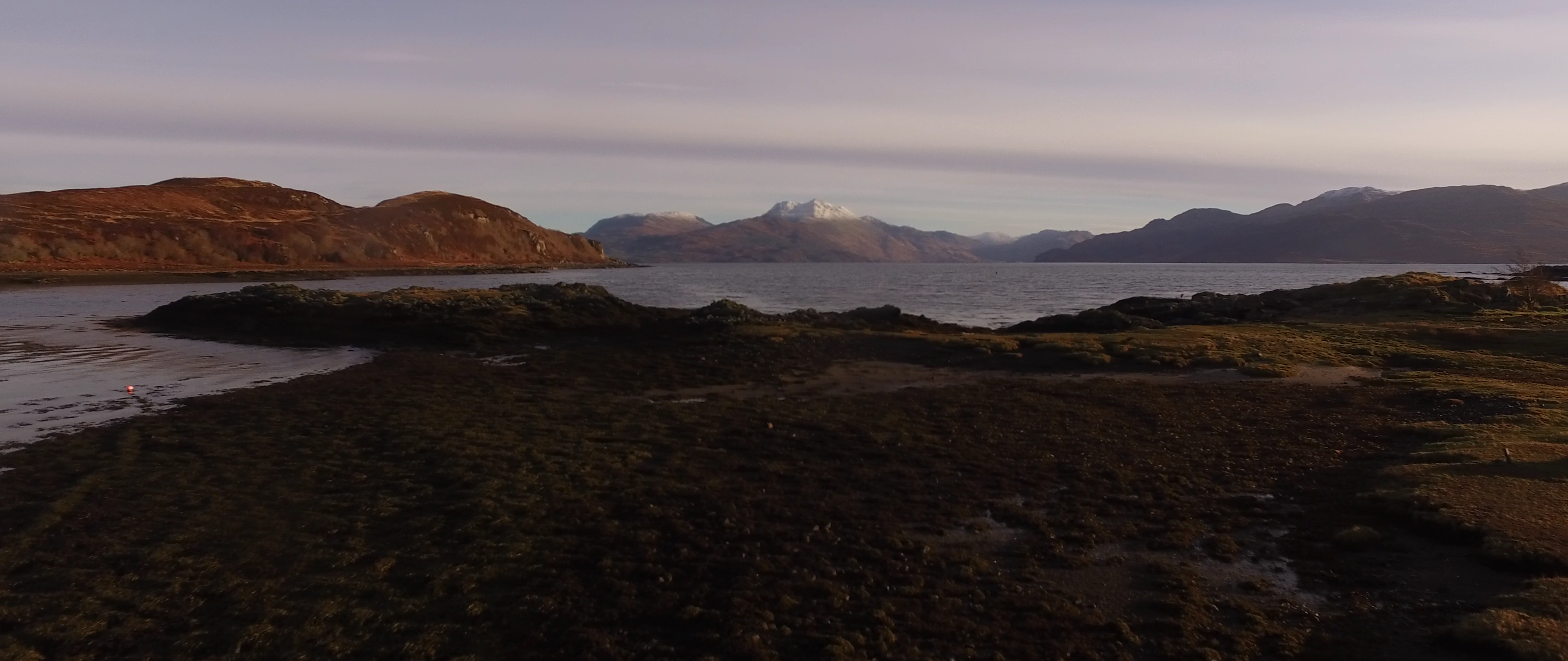
The Sleat peninsula, at the southern tip of Skye, has a rich Gaelic heritage which shaped local place names. However, many of Sleat’s traditional names have never been recorded on official maps – most of which were created by map-makers who came from outside Skye and were not native Gaelic speakers.
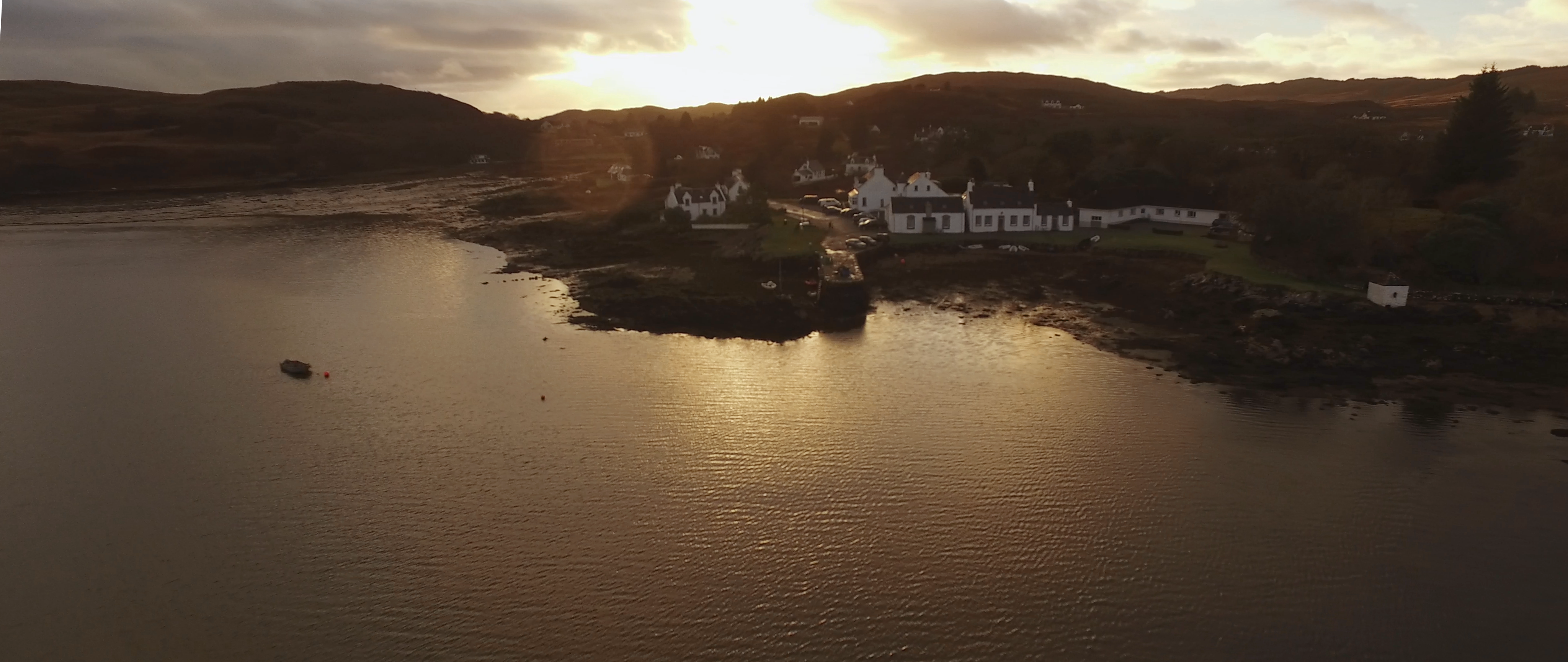
Place names form a vital way of understanding how a landscape has evolved over time, and the cultures of the communities which have lived in it. During the late twentieth and early twenty-first centuries, Sleat (like many other parts of Skye) has seen major changes, potentially disrupting the passing on of oral traditions, including knowledge about historic place names. In recent years, local volunteers have worked on a project to record old place names and stories from the north-east end of Sleat, in the area around the An Crùbh cafe and community hub, near Isle Ornsay.
Explore the interactive map to discover the history and place names of the north-eastern part of Sleat, and add your own stories and pictures about the area’s past.